百名山である2,354mの四阿山と花百名山である2,207mの根子岳は菅平牧場から約7時間の登山ループで繋がれている。Mt. Azumaya (one of Japan’s 100 Famous Mountains) and Neko-dake (a Top 100 Wildflower Mountain) can both be climbed via a 7-hour loop hike from the Sugadaira Pasture.
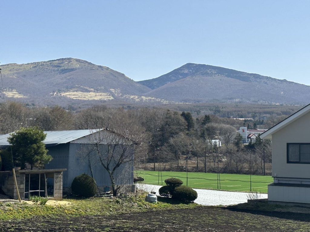
以前は四阿山も根子岳も個別で登った。4月20日にその二つの山を繋ぐ2.5kmの道も歩けて、ループ出来ました。特に四阿山に部分的に雪が残っていて、アイゼンが必須でした。四阿山の頂上からの360°パノラマが特に印象的。煙を出している浅間山→湯の丸と烏帽子とその後ろに蓼科→美ヶ原とその奥に北アルプス→白馬連峰→戸隠と高妻と黒姫と妙高→白根山。四阿山のコースは笹と白樺から始まり、途中からは松林、様々な景色が楽しい。根子岳コースの下の分は牧場沿いで菅平高原スキー場を眺めながら快適に歩ける。戸倉上山田温泉からアクセスは楽(高速で牧場まで41km, 52分)朝9時に出たが日帰りは可能。
We’d climbed both peaks individually before but on 20-April we managed to do the 2.5km course to Nekodake after summiting Mt. Azumaya for an enjoyable loop hike. The 360-degree view from the top of Azumaya was particularly impressive, and the trail offers a great variety of scenery, from bamboo grass with birch trees to pine forests. Nekodake’s course runs along a cow pasture at the bottom for expansive views of the Sugadaira Highlands and ski areas.
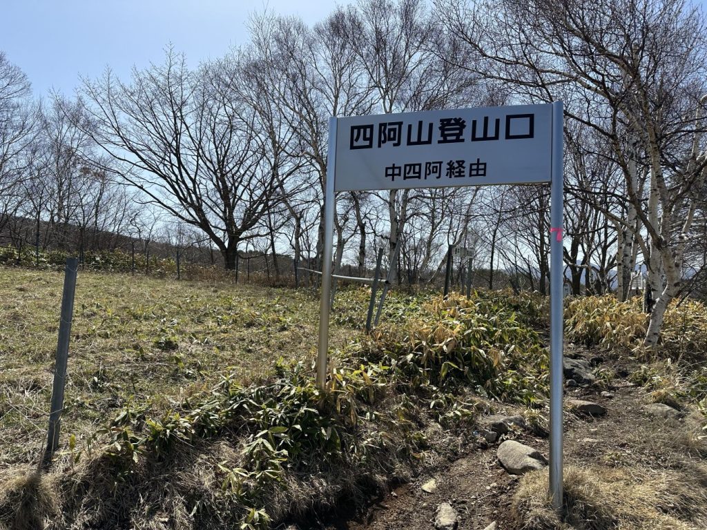
Mt. Azumaya trailhead
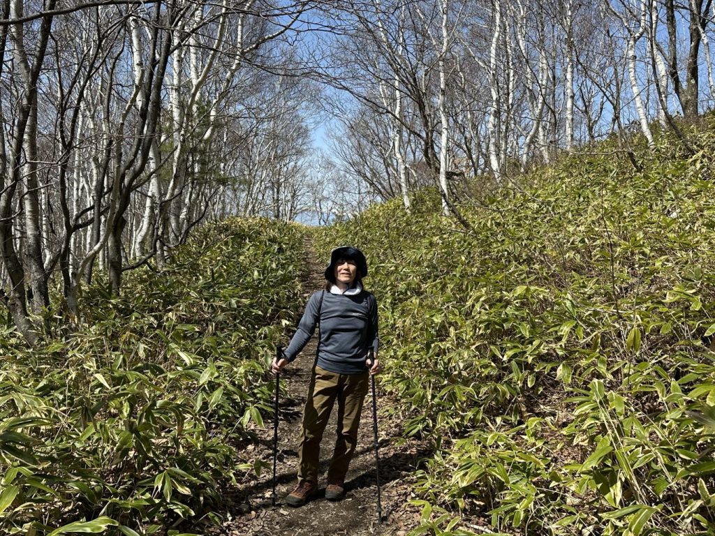
前半は笹と白樺 The trail starts through "sasa" (bamboo grass) and birch trees.
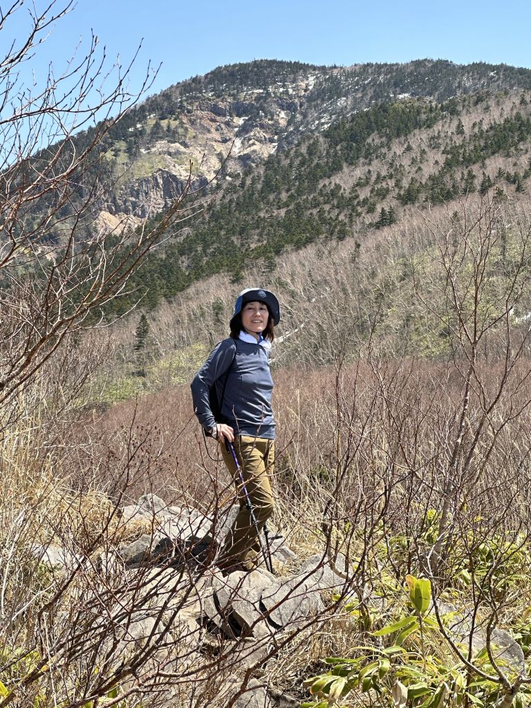
中間の高台から見る四阿山 View of Mt. Azumaya from a high point midway up the mountain
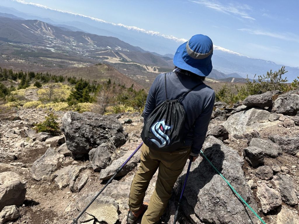
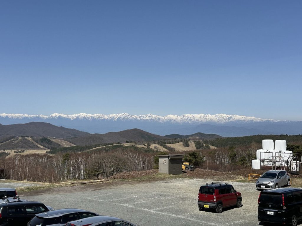
菅平高原を見下ろす 背景に北アルプス Looking down over Sugadaira Highlands with the Northern Japanese Alps in the distance
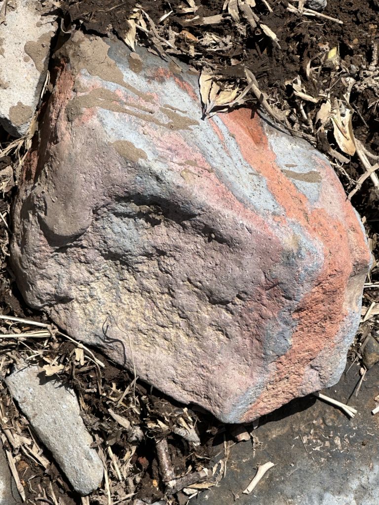
登山道は面白い地質を通る。時に赤っぽい石、時に青っぽい、他の場所に黒い土。火山の影響かな? この石は赤と青のハイブリッド。 Interesting geology along the path. Some areas with reddish rocks and dirt, some with blue rocks, and others with dark black earth. We could sense the ancient volcanic activity. This rock was a hybrid of red and blue.
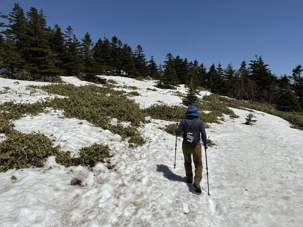
4月20日の時点で所々に雪が残っていて、アイゼンは必要だった。 As of April 20th, there was still snow in several places. We definitely made us of our crampons.
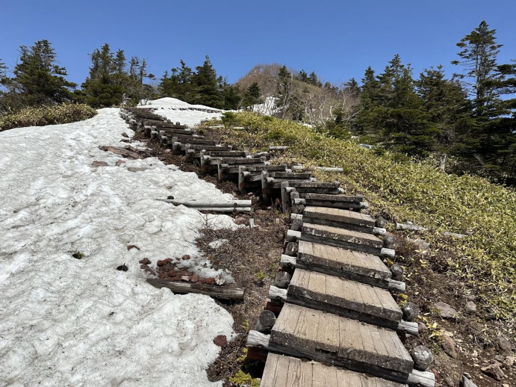
四阿山の頂上付近の木の階段 Wooden stairs near Mt. Azumaya's summit
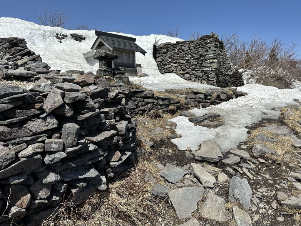
四阿山の頂上にある宮。真田地区の山家神社の説明版によると、戦国時代に四阿山が修験道の聖地だったのでその神社が登山口だったそうです。 Shrine at the top of Mt. Azumaya. According to a sign at Yamaga Shrine down back at the Sanada District, Mt. Azuyama was a pilgrimage destination back in the Warring States era, with Yamaga Shrine as the trailhead.
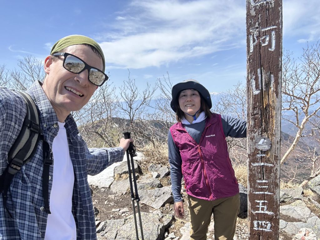
Mt. Azumaya's summit (2,354 meters elevation)
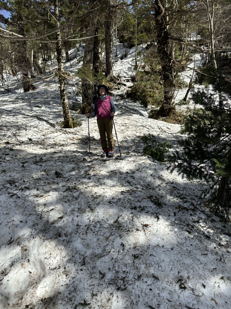
四阿山の北側の下り。アイゼンに感謝! Descending Mt. Azuyama's north side. Thank goodness for crampons!
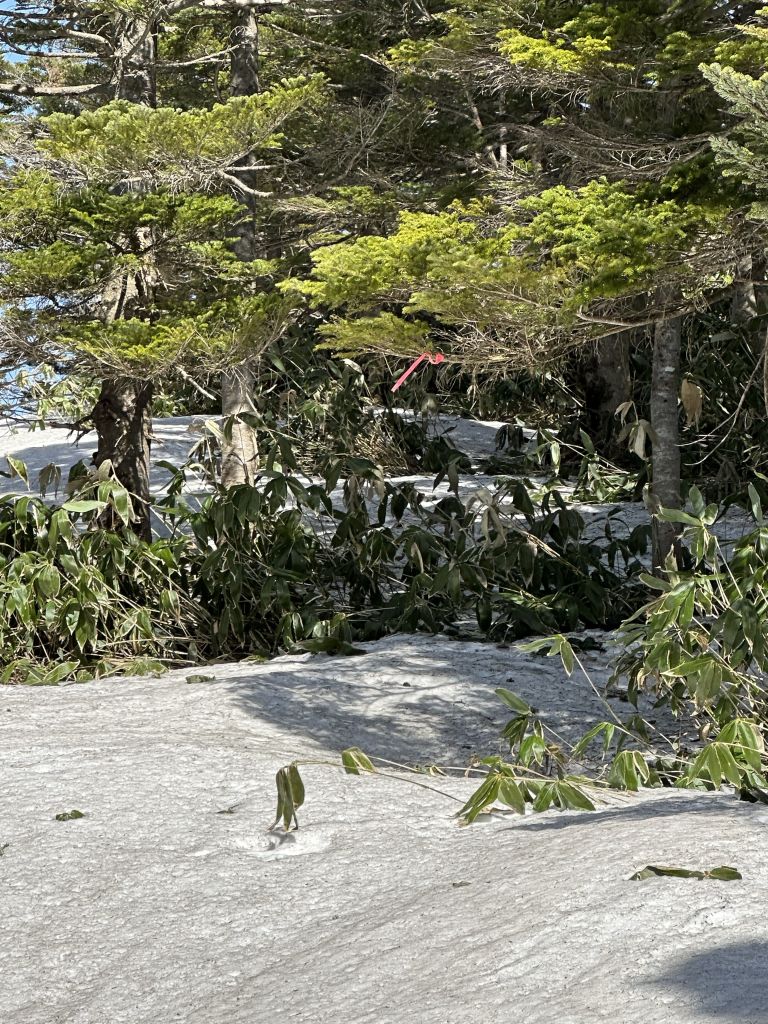
道が雪で隠れて、足跡も少なく、ピンクリボン探しでした。 The path was covered in snow, and footprints were hard to find, so we had to rely on the pink trail markers.
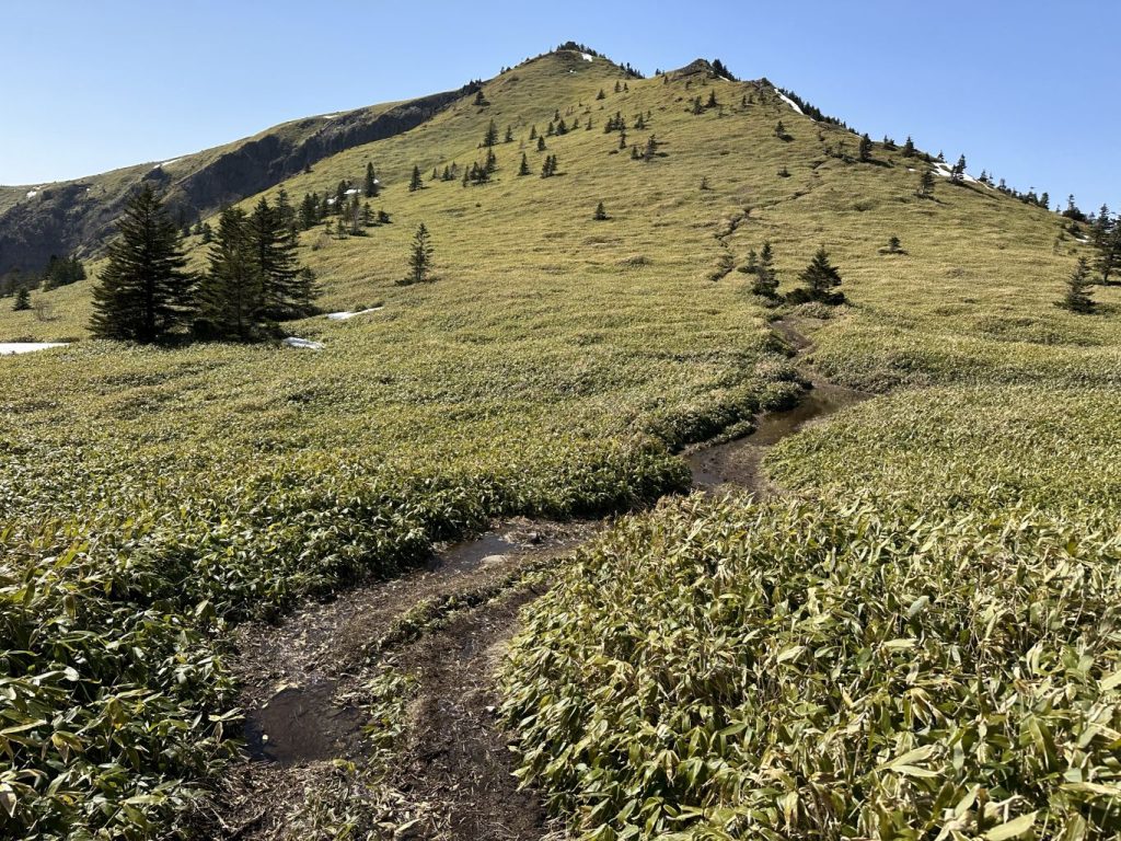
二つの山の間の笹平(標高2,040m) これから根子岳の頂上へ The bamboo grass flat between the two peaks (elevation 2,040m). From here we started the ascent to the top of Mt. Nekodake.
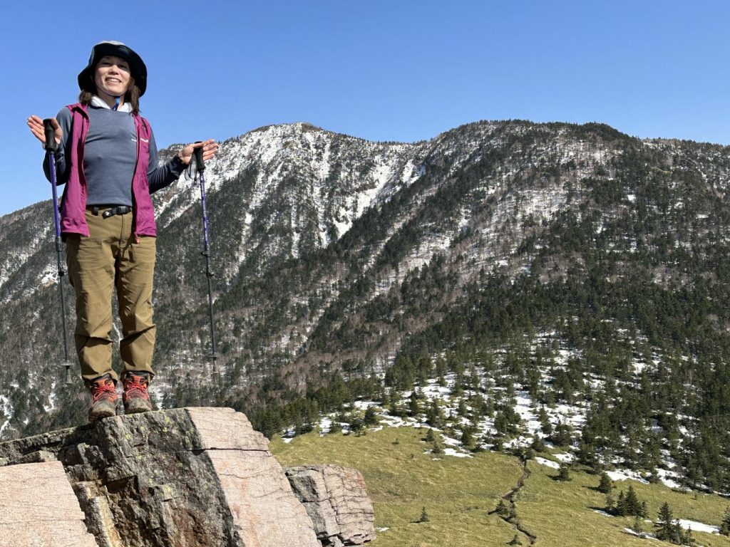
笹平を見下ろして、背景は四阿山 Overlooking the bamboo grass flat, with Mt. Azumaya in the background
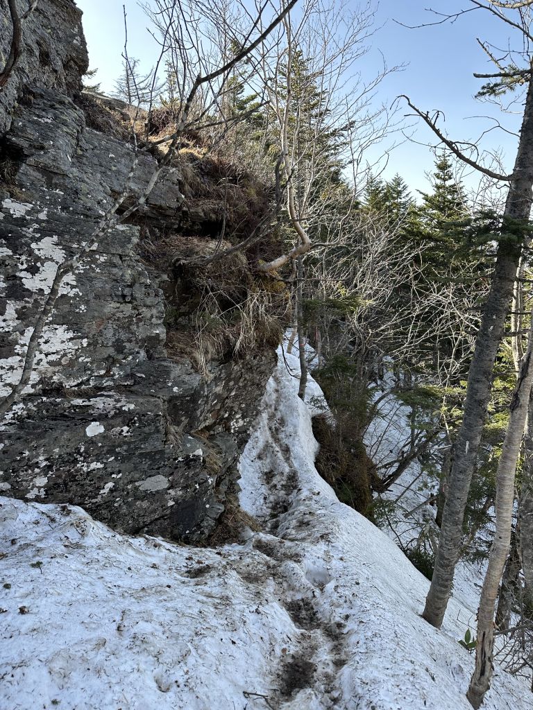
根子岳の頂上付近の岩場。ドキドキする道。 Boulders near the summit of Mt. Nekodake. The path is not for the faint of heart.
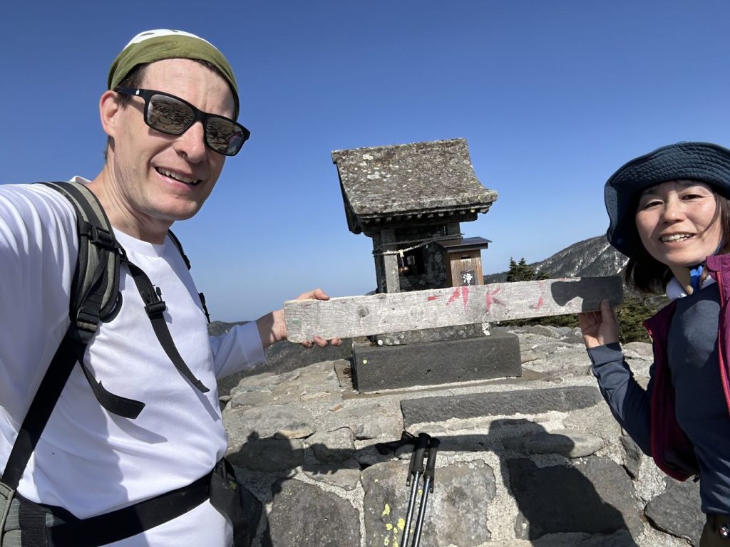
根子岳の頂上 Mt. Nekodake summit 2,207m
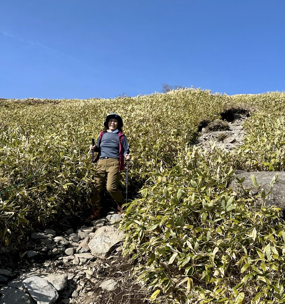
根子岳の頂上から牧場へ降りる道 Descent from Mt. Nekodake's summit back to the pasture trailhead
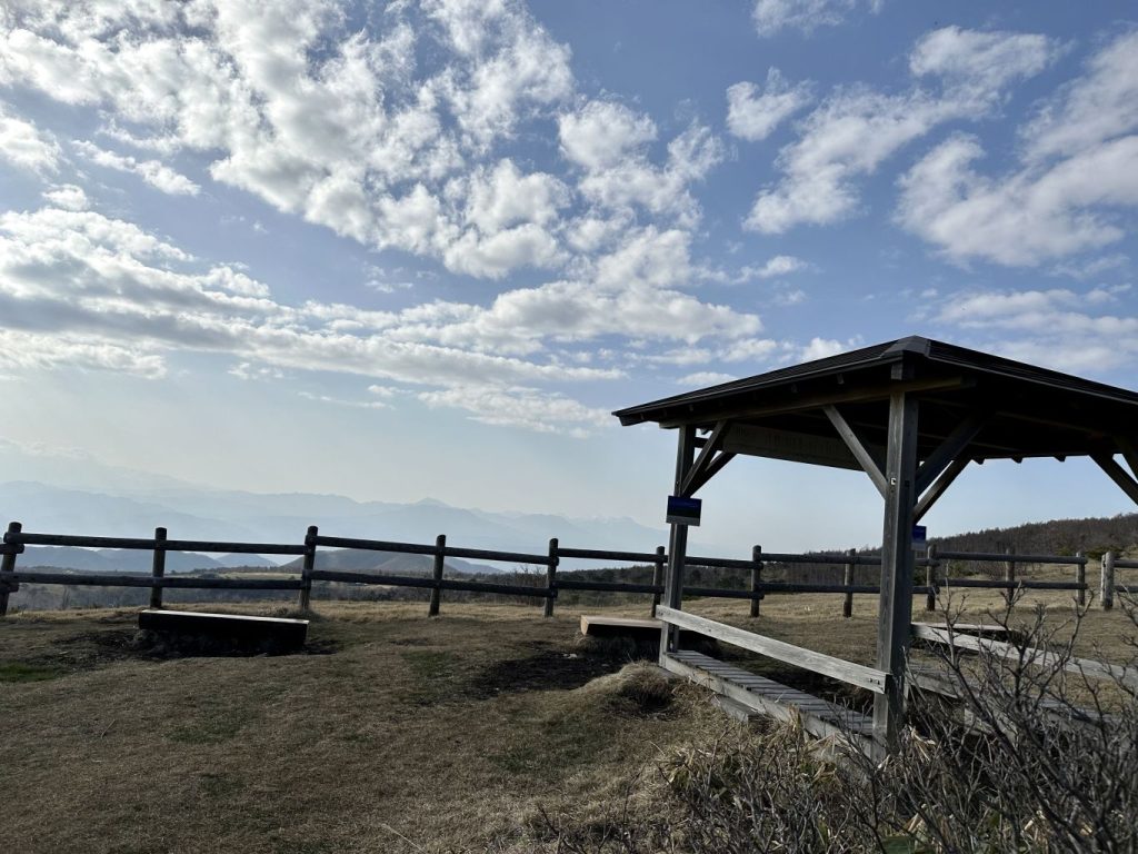
途中に牧場の上で展望台の東屋がある Gazebo at the viewpoint at the top of the pasture.
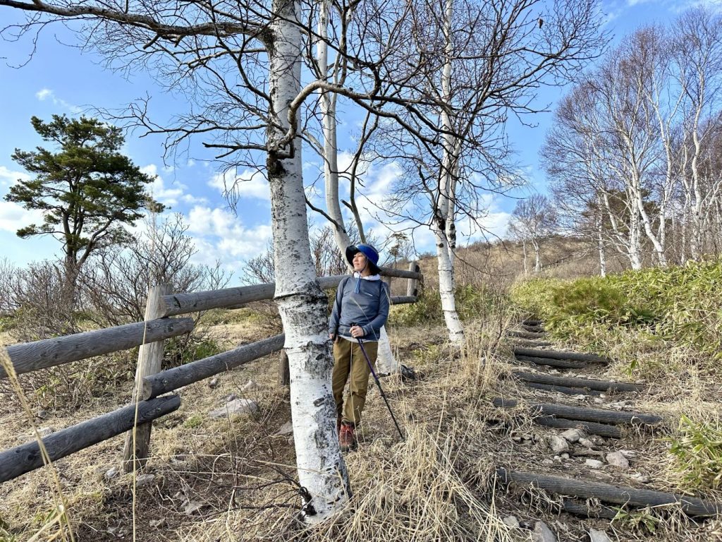
左は牧場、右は白樺の林 Pasture to the left, birch woods to the right.

下りてからのお勧めのソフトアイス; 菅清園 Best spot for post-climb soft-serve ice cream: Kanseien in Sugadaira's central village
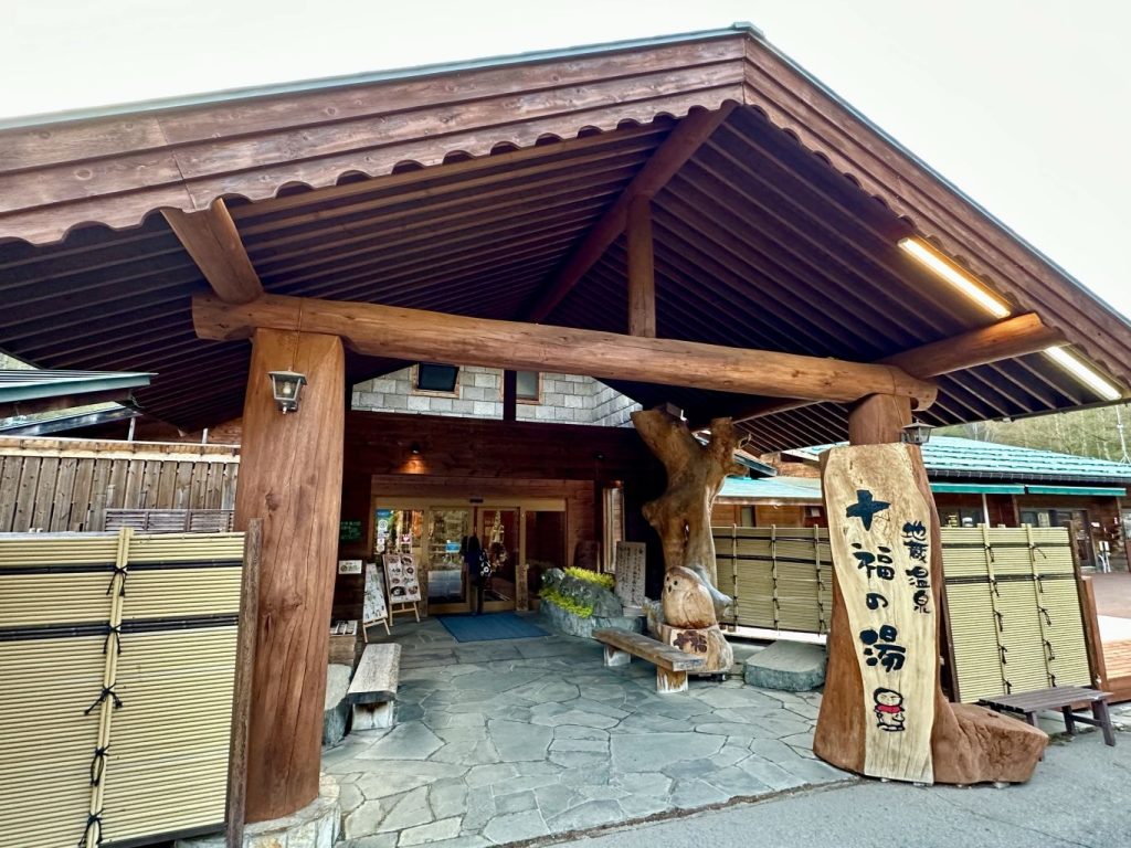
今回の立ち寄り湯; 十福の湯 外の広い石風呂と周りの庭園(枝垂れ桜も山桜も満開だった!)で体の充電が出来た。 Our post-climb bath this time was Juppuku no Yu. With it's outdoor bath made of majestic rocks and glorious garden (the weeping cherry trees and wild cherry trees on the nearby hillside were in full bloom), we rejuvenated our sore bodies.
一つの駐車序から二つの山を登れるコースが少ない。菅平牧場から四阿山と根子岳の両方を廻れるのはすごく嬉しい。時間はかかる(余裕をもって7時間で計算したらよいと思う)けど、ダブル達成感になる。私達は牧場⇒四阿山⇒根子岳⇒牧場(つまり、反対時計回り)した。夏は笹平から根子岳まで木影がないけど、四阿山までは松林の中だからその方が涼しいでしょう。(つまり、夏は統計回りがおすすめ)
There aren't too many places where you can climb two mountains from one starting point, so being able to summit both Mt. Azumaya and Mt. Nekodake from the Sugadaira Pasture trailhead is pretty special. It takes a long time (I suggest planning on 7 hours to be safe) but you get twice the summitting satisfaction. We went Pasture - Mt. Azumaya - Mt. Nekodake - Pasture (i.e. reverse-clockwise). However, in the summer, the path from the bamboo grass flat up to Nekodake doesn't have any tree shade whereas the ascent to Azumaya would be through a pine forest (thus relatively cooler) so I suggest circling clockwise.
四阿山 Mt. Azumaya 2,354m
根子岳 Mt. Nekodake 2,207m
登山道長さ Trail Length 4.6km + 2.5km + 2.6km
標高差 Elevation Gain 754m + 167m (1,600 ⇒ 2,354 ⇒ 2,040 ⇒ 2,207 ⇒ 1,600m)
一周 Total time 6:30
体力 Level of Exertion ●●〇
難度 Level of Difficulty ●●〇
景色 Views / Sights ●●●
表記 Signage ●●〇
登山口 Trailhead 🚙Px30 WC有りYes https://goo.gl/maps/hax3tskBwJWLbtxbA
入場料 Entrance Fee ¥200/pax


