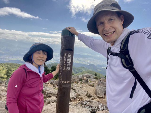
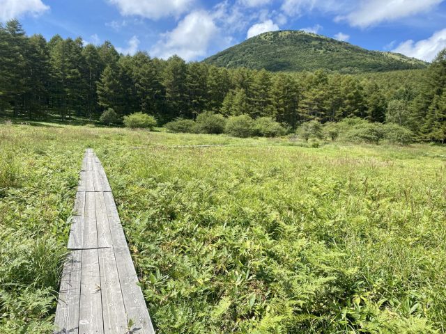
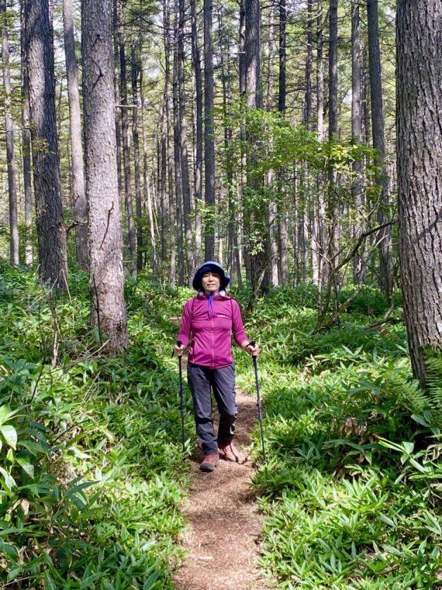
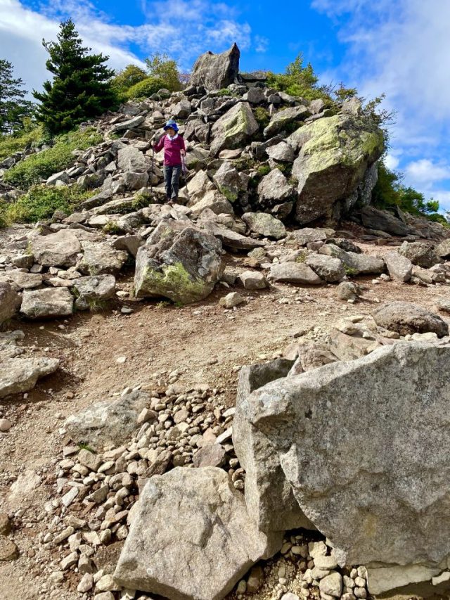
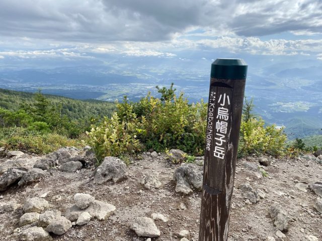
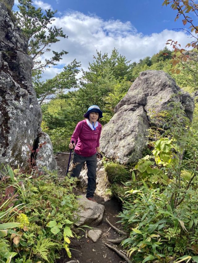
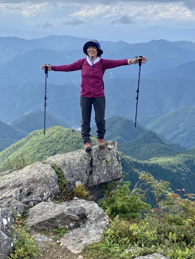
烏帽子岳は東御市の湯の丸高原と言う便利な登山口(我が亀清旅館から車で45分)から割と緩やかな歩きやすいトレールで2066mの頂上まで登れる。湿原のボードウォークや高山植物、火山の地形(浅間山と同じ火山群)、そして頂上からの絶景。
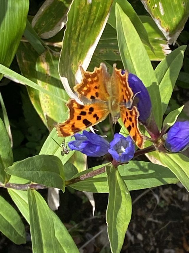
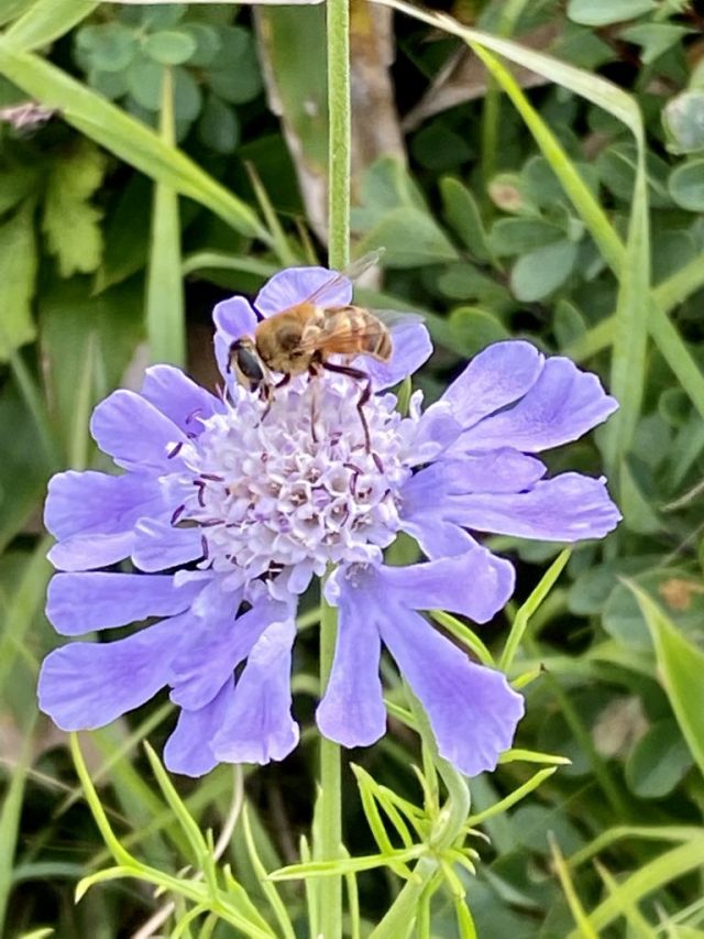
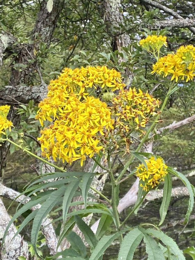
Mt. Eboshi is a relatively easy-going climb from a very convenient trailhead (Tomi City’s Yunomaru plateau, a convenient 45 minutes by car from our Kamesei Ryokan). The view from the 2066m peak overlooks Tomi and the Chikuma River Valley below, and along the way there’s a marsh with a boardwalk, a treasure trove of alpine flowers, and reminders of ancient volcanic activity.
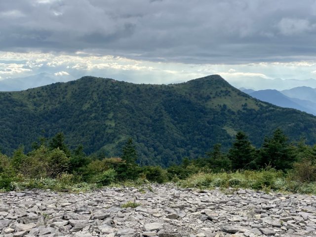
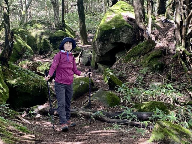
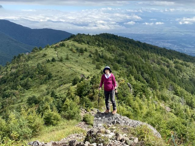
烏帽子岳の特徴な形の頂上は上田市(特に丸子地区)と東御市のほとんどどこからでも見える。標高が割と高いので冬に真っ先に白くなる。しかし、登山道の勾配が優しいので小さい子供やご年配の方に人気。前回に登った時に小学生は百数十人た通り違った。今回は週に1〜2回登っている70代のおじさんと行き合った。「富士山を見るのに梅雨前の4〜5月だ」とアドバイスをくれた。
Mt. Eboshi’s distinctive 2-pronged peak is a prominent feature of the skyline in Ueda City (especially the Maruko District) and of course Tomi City. Its relatively tall height means it’s one of the first mountains in the area to be covered in snow in the winter. “Eboshi” refers to the high-peaked hat worn by nobility in the ancient Heian Era for ceremonies. The ascent is relatively mild hence the trail is popular with schoolchildren as well as elderly climbers. On our first climb we passed a group of over 100 elementary students. This time we met a guy in his 70s that climbs Eboshi several times a week. (His advice: May and June are best for seeing Mt. Fuji from the peak.)
烏帽子岳 Mt. Eboshi 2066m
登山道長さ Trail Length 3.8km 片道 + return
標高差 Elevation Gain 366m
登り Ascent 1:45, 下り Descent 1:30
体力 Level of Exertion ⚫️◯◯
難度 Level of Difficulty ⚫️◯◯
景色 Views / Sights ⚫️⚫️⚫️
表記 Signage ⚫️⚫️◯
登山口 Trailhead 🚘Px100+ 🚾有りYes
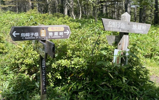
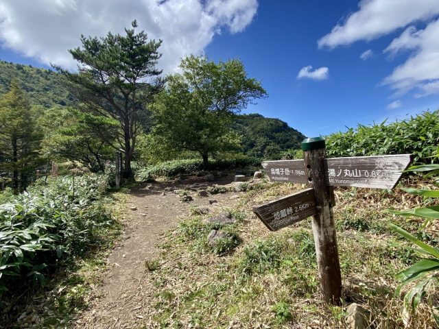
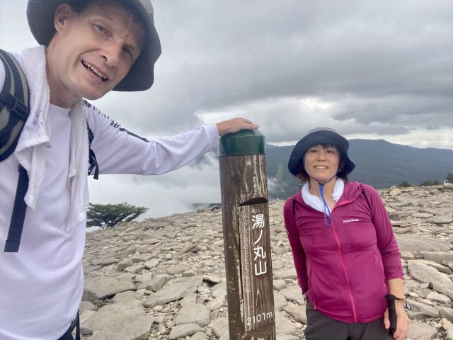
廻り道: 湯の丸山。Side Trip Up Mt. Yunomaru
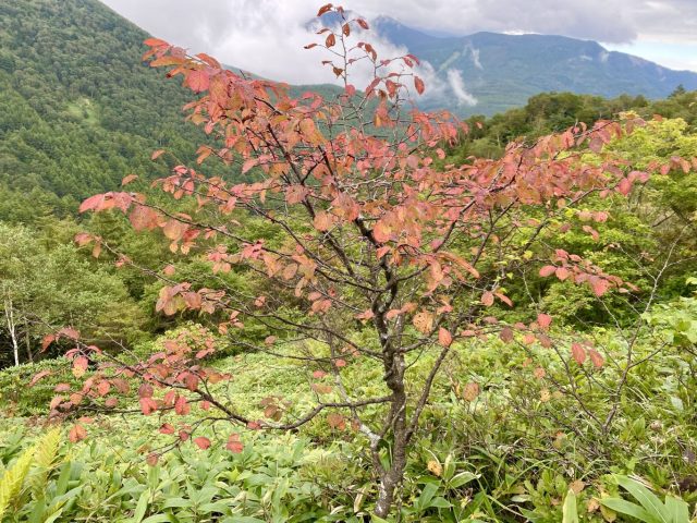
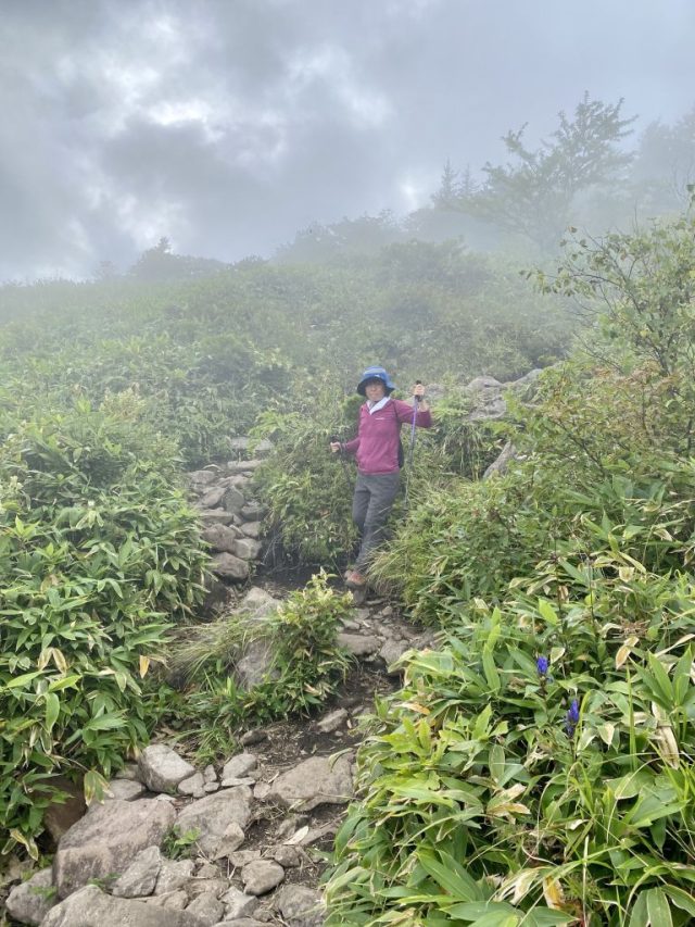
烏帽子岳から標高1850mの鞍部まで降りて、山登りがまだ足りない方に標高2101m湯の丸山と言う手もあります。800mの短い距離で標高250m上がると言う激坂だけど、達成感はバッチリ。登山口である地蔵峠まで降りる途中につつじ平とスキーのグレンデ(夏は牧場で、牛のフンは要注意!)を通る。山の天気はすぐ変わるので、私たちが通った時に霧になった。ちゃんとした装備しましょう♪
If climbing Mt. Eboshi wasn’t enough exercise for you, from the col (1850m) you can take the short but steep 800m long trail to the top of Mt. Yunomaru (2101m). You’ll get your exercise in addition to a well-deserved sense of accomplishment. The trail back down to the parking lot at Jizo Pass goes through an azalea field as well as one of the ski slopes (watch out for cow paddies as the slope is used for grazing in the green season). Mountain weather tends to be fickle — on our descent we were suddenly enveloped in fog. Use caution and be prepared!
立ち寄り湯: 湯の丸高原ホテル Post-Hike Onsen: Yunomaru Kogen Hotel
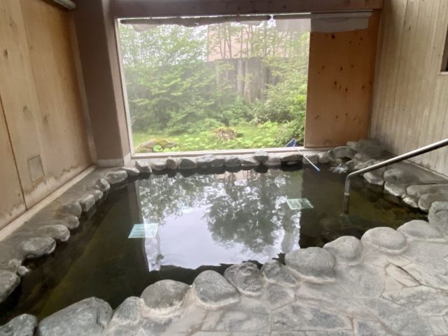
登山口である地蔵峠に湯の丸高原ホテルがあって、日帰り入場が可能。塩素の匂い無く、山の自然を楽しめる露天風呂あり、汗を流すのに最適だ♪ Located at the Jizo Pass trailhead, Yunomaru Kogen Hotel allows day-use of its onsen baths. The outdoor bath has an especially lovely setting, and is perfect for washing away the sweat and dust from the hike.