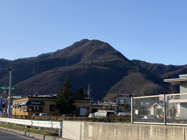
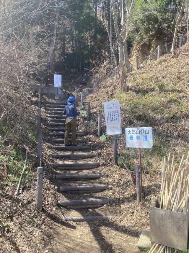
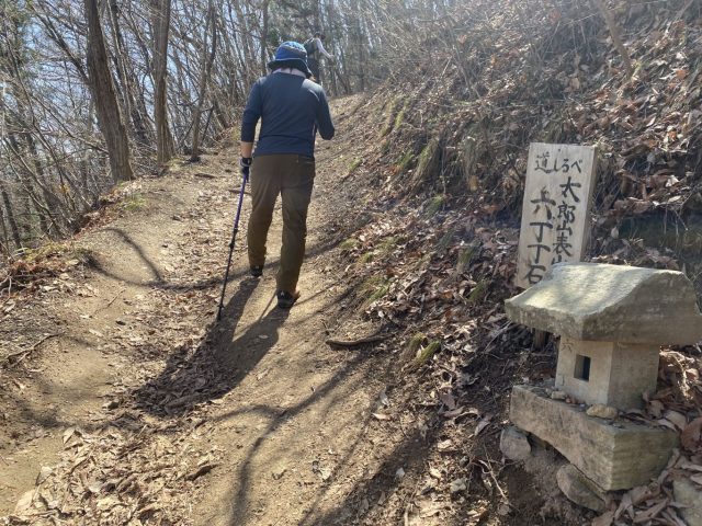
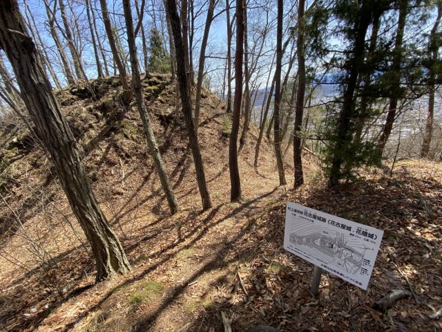
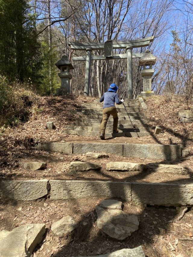
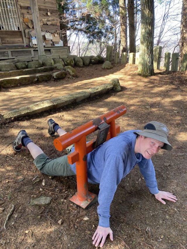
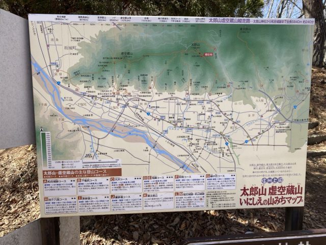
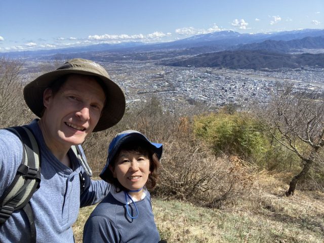
(English follows) 上田市のシンボルとして上田城に負けないぐらい太郎山が愛されてます。年に400回に登っている市民もいるようです。人気のバーチカルレースも毎年5月に太郎山で開催されます。私たちが登った日に走って来たお兄さんがいまして、聞いたら26分で登ったそうです。(私たちは1時間20分かかりました!)表参道コースは109m毎に丁石があって、途中に山城跡があり、中腹に巨大な石鳥居をくぐり、頂上近辺の神社に超ミニな鳥居、飽きないコースです。それより、頂上からの眺めが素晴らしい!私たちが登ったのは雨が降った後の日だったので空気が綺麗でずっと眺めてました。上田市街と塩田平は勿論見下ろせたが、遠くの北アルプス、南アルプス、八ヶ岳連峰、そして富士山も見えた!太郎山の人気の理由は分かります!
Mt. Taro is along with Ueda Castle one of Ueda City’s two most endearing symbols. The trail to the peak is so popular some people climb it over 400 times a year. A prestigious Vertical Race takes place every May. In fact, we met one runner who said he made it to the top in 26 minutes. (For the record it took us an hour and 20 minutes!). The entertaining trail is dotted by stone markers every 109 meters, it passes near the the remains of an ancient samurai fort, halfway up the mountain it ducks under a massive stone Torii gate, and conversely at the shrine near the peak is an ankle-high Torii. But the biggest reward for climbing Mt. Taro is the spectacular view from the summit. We sat and absorbed the vista for over half an hour. Not only can you look down on central Ueda and the entirety of the Shioda Plain but you can gaze out and see the both the Northern and Southern Alps as well as the Yatsugatake Range and even Mt. Fuji.
太郎山 Mt. Taro 1,164m. 距離 Length 2.1km. 標高差 Elevation Gain 584m. 登り Ascent 80 min. 下り Descent 60 min. 難度 Level of Difficulty: 中級 Medium. 苦労 Effort ●●○. 技術的 Technical ●○○. 登山道の状況 Trail Condition ●●●. 表記 Signage ●●○ (後何メータかの表記が欲しかった Needs distance markers). 2022.04.05
